Customize Consent Preferences

We use cookies to help you navigate efficiently and perform certain functions. You will find detailed information about all cookies under each consent category below.

The cookies that are categorized as "Necessary" are stored on your browser as they are essential for enabling the basic functionalities of the site. ... 

Always Active

Necessary cookies are required to enable the basic features of this site, such as providing secure log-in or adjusting your consent preferences. These cookies do not store any personally identifiable data.

Functional cookies help perform certain functionalities like sharing the content of the website on social media platforms, collecting feedback, and other third-party features.

Analytical cookies are used to understand how visitors interact with the website. These cookies help provide information on metrics such as the number of visitors, bounce rate, traffic source, etc.

Performance cookies are used to understand and analyze the key performance indexes of the website which helps in delivering a better user experience for the visitors.

Advertisement cookies are used to provide visitors with customized advertisements based on the pages you visited previously and to analyze the effectiveness of the ad campaigns.

จำนวนผู้เข้าชม 29,668,402
ข่าวจริง
ภัยพิบัติ

พบภูเขาไฟใต้ทะเลห่างจากจ.ระนอง 700 กม. เป็นจุดเฝ้าระวังแผ่นดินไหวและสึนามิ จริงหรือ?

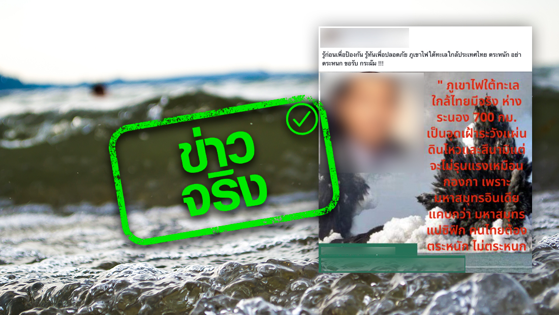
ตามที่มีการเผยแพร่ข้อมูลเกี่ยวกับประเด็นเรื่อง พบภูเขาไฟใต้ทะเลห่างจาก จ.ระนอง 700 กม. เป็นจุดเฝ้าระวังแผ่นดินไหวและสึนามิ ทางศูนย์ต่อต้านข่าวปลอมได้ดำเนินการตรวจสอบข้อเท็จจริงโดย กรมอุตุนิยมวิทยา กระทรวงดิจิทัลเพื่อเศรษฐกิจและสังคม พบว่าประเด็นดังกล่าวนั้น เป็นข้อมูลจริง 

พบภูเขาไฟใต้ทะเลห่างจาก จ.ระนอง 700 กม. เป็นจุดเฝ้าระวังแผ่นดินไหวและสึนามิ แนวมุดตัวระหว่างแผ่นเปลือกโลกอินเดียออสเตรเลียกับแผ่นเปลือกโลกยูเรเซีย เป็นบริเวณที่มีเหตุการณ์แผ่นดินไหวเกิดขึ้นเป็นประจำและมีภูเขาไฟระจายอยู่ตามแนวมุดตัวนี้อยู่แล้ว(ตามแนวหมู่เกาะอันดามันนิโคบาร์ และหมู่เกาะสุมาตรา) ซึ่งอยู่ห่างออกไปจากแนวชายฝั่งตะวันตกของประเทศไทยไปประมาณ 600-700 กม. ส่วนสาเหตุการเกิดสึนามิที่สามารถสร้างความเสียหายได้ส่วนใหญ่เกิดจากเหตุการณ์แผ่นดินไหวขนาดใหญ่ที่มีการยกมวลน้ำเป็นบริเวณกว้างมากกินพื้นที่หลายร้อยกิโลเมตร ซึ่งต่างจากการระเบิดของภูเขาไฟที่เป็นจุดเดียวและพื้นที่การยกตัวของมวลน้ำไม่มาก 

อย่างไรก็ตามทั้งเหตุการณ์แผ่นดินไหวและภูเขาไฟระเบิดไม่สามารถคาดการณ์ล่วงหน้าได้อย่างแม่นยำ แต่เมื่อเกิดเหตุการณ์ที่จะทำให้เกิดสึนามิในบริเวณฝั่งอันดามัน กองเฝ้าระวังแผ่นดินไหว กรมอุตุนิยมวิทยา และหน่วยงานที่เกี่ยวข้องสามารถแจ้งเตือนการเกิดสึนามิไปสู่ประชาชนได้อย่างรวดเร็ว ทันเหตุการณ์

ทั้งนี้เพื่อให้ประชาชนได้รับข้อมูลข่าวสารจาก กรมอุตุนิยมวิทยา กระทรวงดิจิทัลเพื่อเศรษฐกิจและสังคม สามารถติดตามได้ที่เว็บไซต์  www.earthquake.tmd.go.thและ www.tmd.go.th   หรือโทร สายด่วน 1182 และหมายเลขโทรศัพท์ 0 2399 4547 ตลอด 24 ชั่วโมง 

ข่าวอื่นๆที่เกี่ยวข้อง

ข่าวล่าสุด